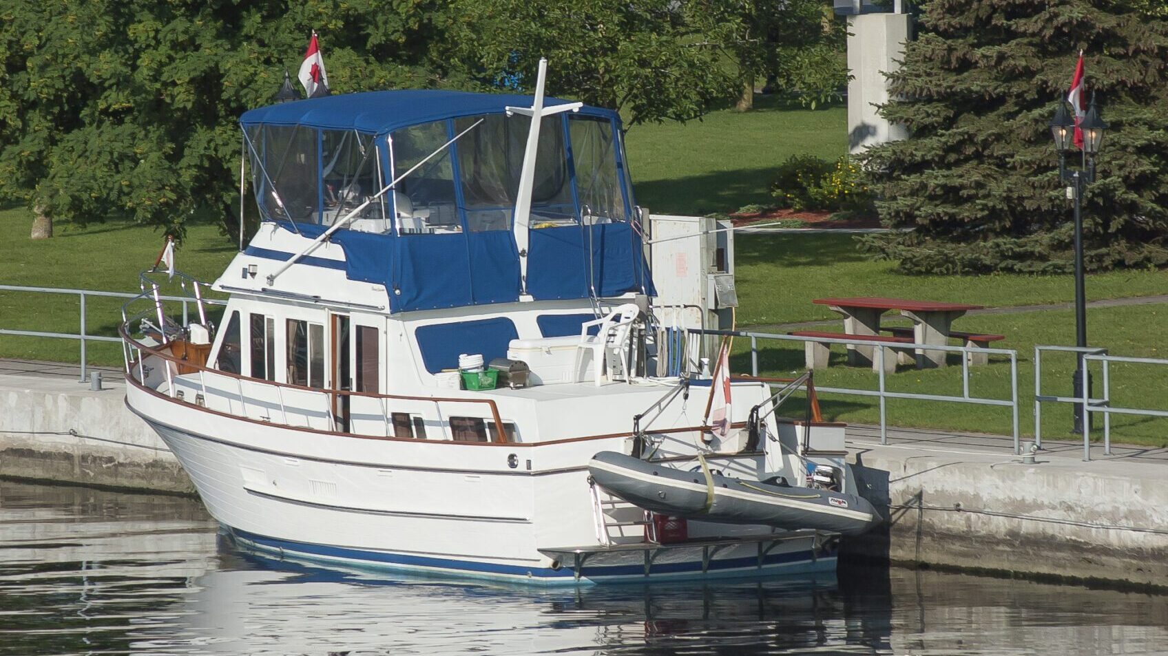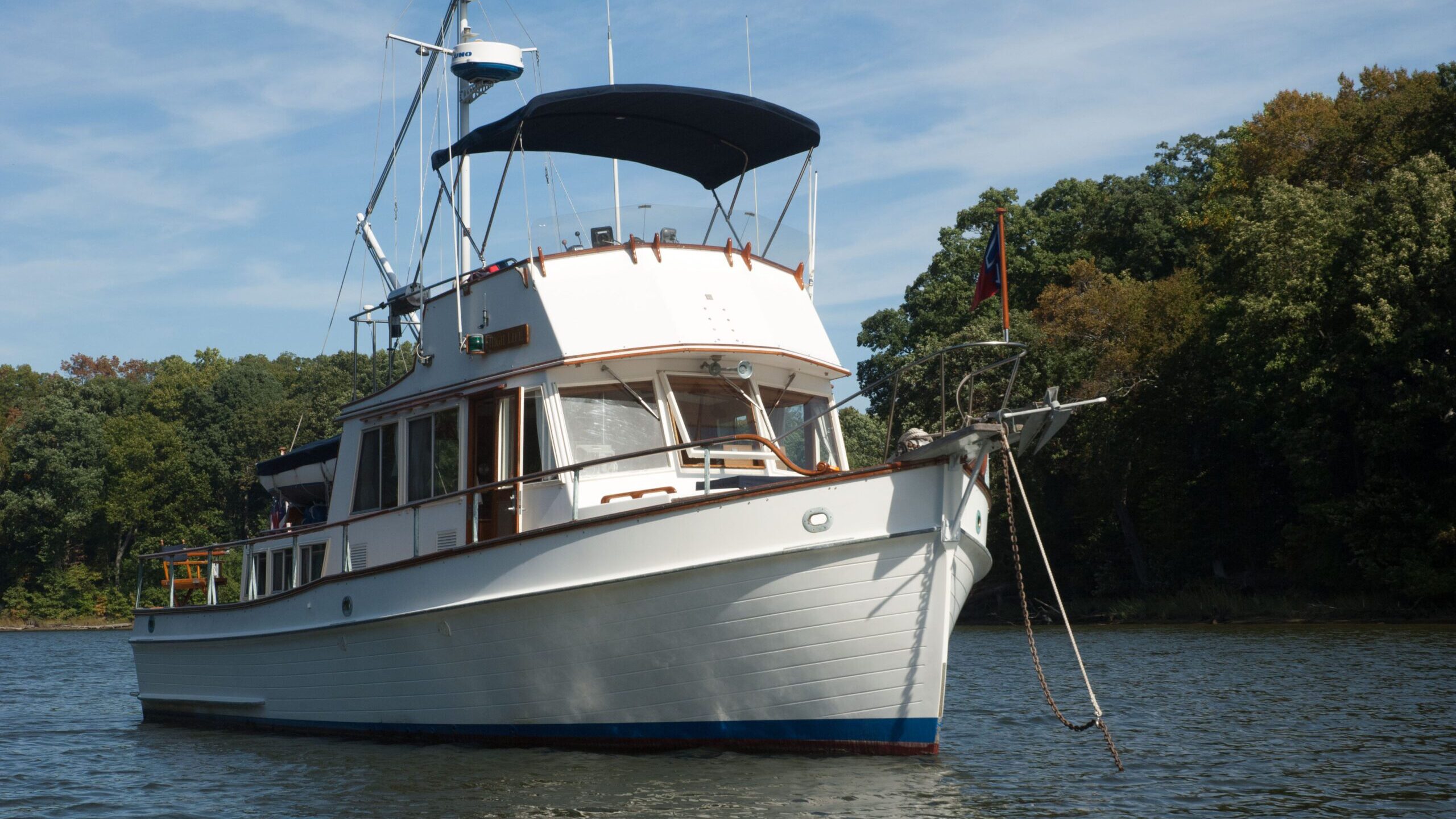
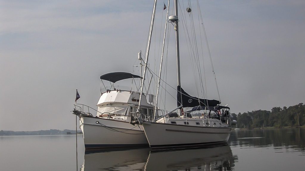
Cruising the Intracoastal Waterway north from Florida to Maryland
We left friends in Fort Myers, FL and went across the Okeechobee—despite its low water levels— because we were ready to go home and return to our land lives. But we didn’t want to rush north and miss the sights—or the chance to spend time with our Looper friends headed in the same direction. And, while we didn’t have a fixed schedule, we had to be north of Cape Hatteras by June 1, a stipulation in our marine insurance policy. So, we used that deadline as a tentative timeframe. The last phase of our cruise was boating from the west coast of Florida across the Okeechobee Wateray to the east coast and turn north to the ICW at Stuart. From there we headed to Maryland’s eastern shore on the Chesapeake Bay. We were happy to be power cruising on a trawler on the Atlantic Intracoastal Waterway on the last leg of our Loop Cruise on our way home.
The winter drought of 2007 had lowered the lake level to a depth of 4.33 feet at mean low water—and it was still dropping. We read discouraging accounts of damaged props from Loopers. And we heard from others who made the trip across Okeechobee without incident. They said they traveled very slowly and never strayed an inch out of the channel. The not-so-lucky hit rock bottom and limped across for repairs.
Crossing Florida from west to east on the Okeechobee Waterway
Because of the low water levels on Lake Okeechobee the locks at both ends of the waterway had restricted their opening times. So we left Fort Myers at first light to make the ten-a.m. opening at the Franklin Lock. The temperature was a balmy eighty degrees at the Ortona Lock, and we reached Moore Haven’s town dock by mid-afternoon.
There, we sat at a shaded picnic table with the chart of Lake Okeechobee spread out as two westbound sailors who had just crossed pointed to low-water spots they’d encountered. They also mentioned the troublesome dogleg channel where markers were few and far between.
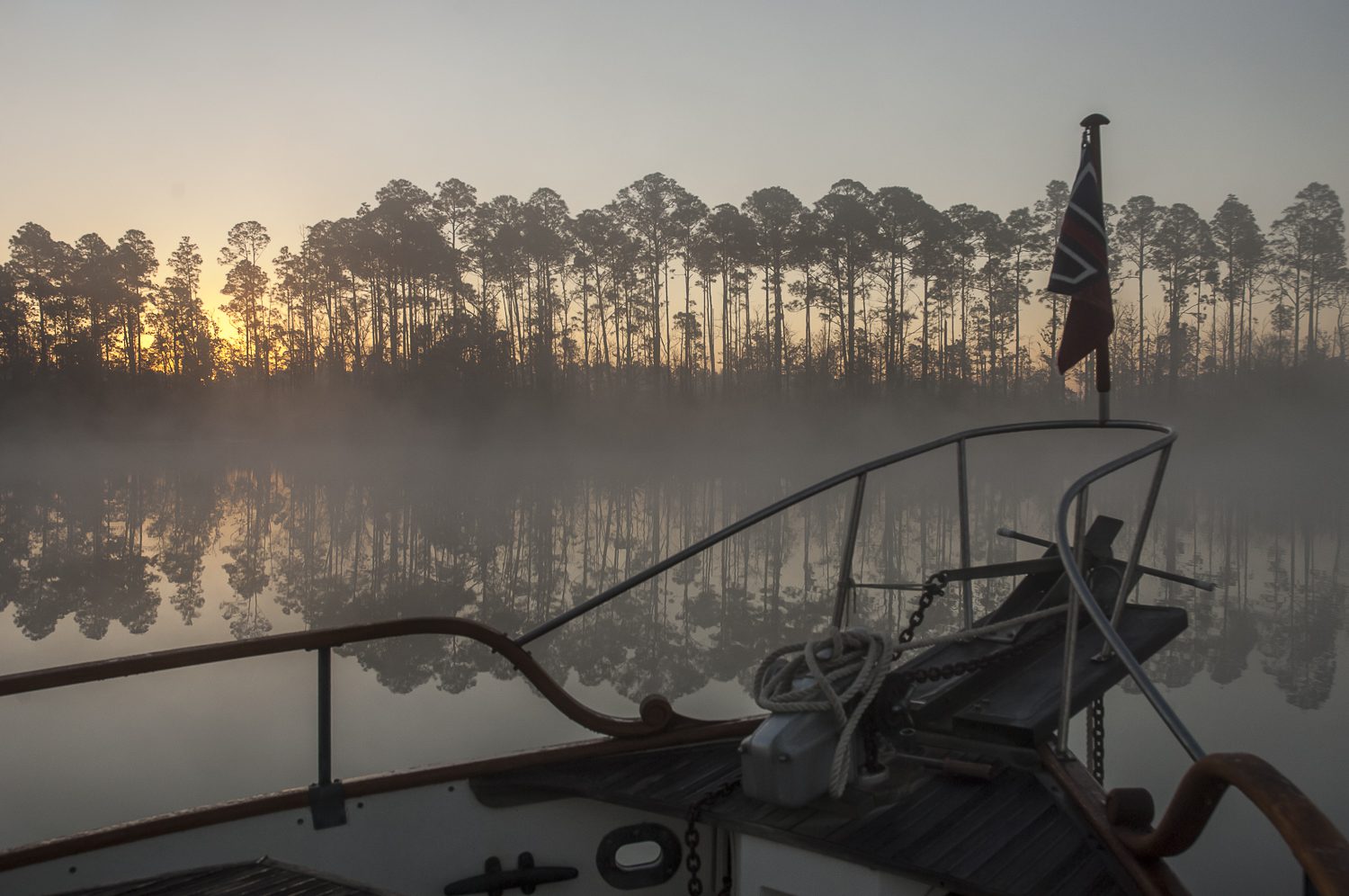
Our strategy was to leave at dawn and arrive at the lake proper before the wind picked up, a condition that seemed to have caused many cruisers to stray from the channel. As we left the mist on the water looked like land fog, but it burned off as the sun came up. Approaching Clewiston, just before entering the lake, we hailed Doghouse, a vessel heading west, and asked if they had made the crossing. The skipper came back, “Yes, and I’m going slowly because I have two damaged props to prove it.”
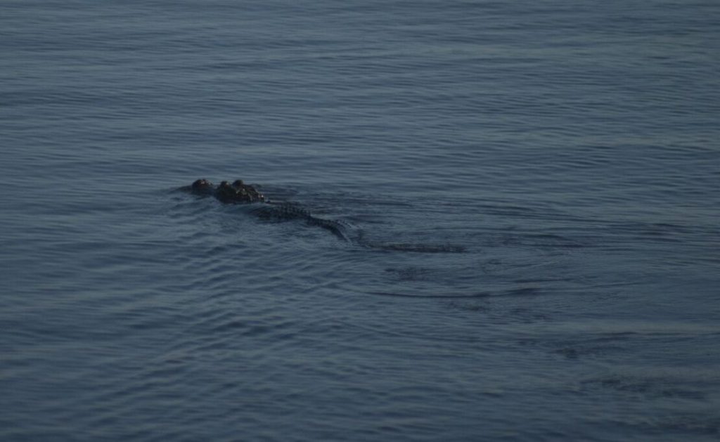
That wasn’t encouraging news as we turned into the channel leading to the lake. A large alligator swam across our bow. Was this an omen of things to come?
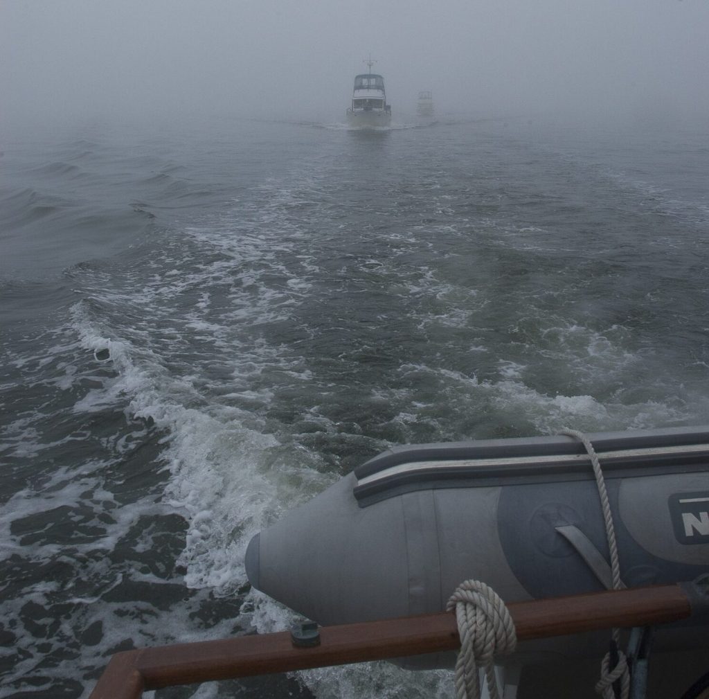
We had crossed Lake Okeechobee many times before without incident but not with such low water. The eastbound channel begins with closely set markers, but once you’re out in the lake, they are set far apart, making it difficult to stay exactly in the channel—even without a strong crosswind. To help keep our thirty-six-foot trawler aligned with the markers, we used radar and, once underway, we broke into our stash of chocolate Easter eggs to relieve the stress. In the end, we managed to get through the channel and out into the lake without touching bottom.
For information about the area we always use the Waterway Guide, Atlantic ICW issue for current navigation and destination information.
Once safely across Lake Okeechobee, we passed through the lock at the St. Lucie River and went on to the anchorage at Stuart. In short order, we were assigned a mooring ball, to which we secured the boat. A strong norther was expected for the weekend, so we stayed put, enjoying our secure stopover in this charming harbor town, where we quickly became part of the active cruising community.
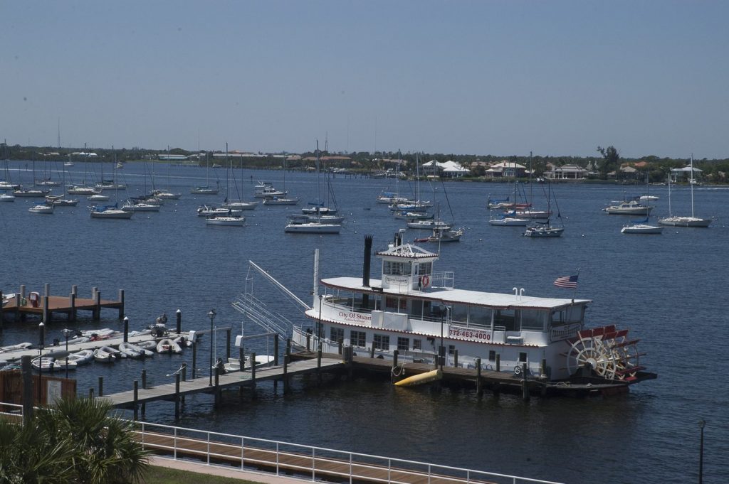
When it was time to move on, we followed the river’s ever-widening channel, which intersects Mile 988 of the Atlantic Intracoastal Waterway at St. Lucie Inlet, presenting boaters with a confusing crossroad of shallow water. There, a minefield of red and green channel markers that melds the river, the ICW and the inlet into one. Yet again, we made the journey unscathed, and once we turned north onto the familiar waters of the ICW, we truly felt that we were headed home.
Traveling on the ICW in the spring or fall, one becomes part of the annual migratory pattern of nautical snowbirds. This fleet encompasses an eclectic mix of sail and powerboats of all ilks, with the one common denominator being a desire to return to their northern homeports or delivery destinations.
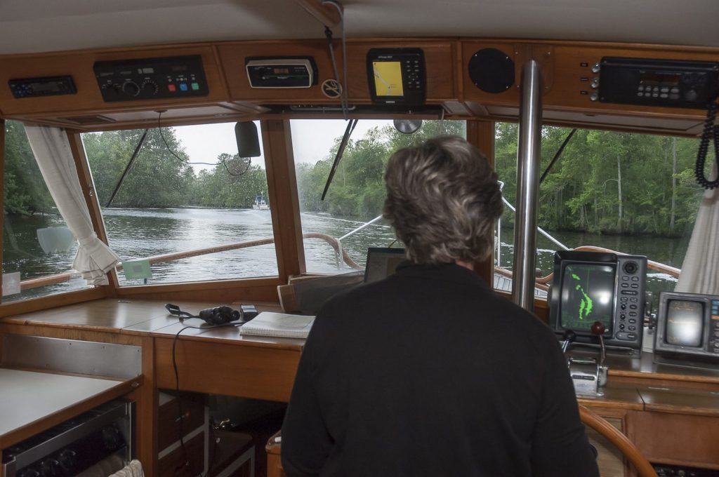
TIP Our firsthand experience using binoculars on a boat: Binoculars are vulnerable on a boat. An unexpected roll from a passing boat wake can send binocs onto a hard deck surface or worse, bouncing off the boat. To protect binoculars, stow them near the helm so they’re readily available but tucked in a safe cubby that prevents them from being damaged.
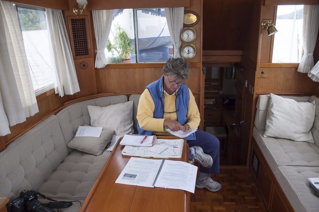
We heard reports of high winds and low temperatures up north, but we couldn’t complain about the sunny skies and light easterly winds we were experiencing. The day’s course led us under a string of bridges, each leading to a beach community on the coast. The mild weather encouraged a daily routine of running the boat from the flybridge. Before moving “upstairs” each morning, we always packed our day bag, a canvas sack filled with everything we’d need at the upper helm: two pairs of binoculars, cameras, guidebooks, cell phones, and sunscreen.
That night we stopped at the busy Vero Beach marina and anchorage, where we reconnected with Loopers Leslie and Doug on Happy Clamz, their salty blue tug. They shared tales from their winter in the Bahamas, and we caught up on Looper gossip. Continuing north the next day, we reminisced about our earlier cruises on this stretch of the ICW, when the route was sparsely populated with low bridges and restricted openings—a concern for us at the time, as we were on a sailboat. Today, most of the bridges along the route are sixty-five-feet high, and we chugged right under them in our trawler. We were happy to be power cruising on the Atlantic Intracoastal Waterway.
We joked that Vero Beach is often called “Velcro Beach” because cruisers come for a night and end up staying much longer. Many cruisers decide to retire there because of its lovely location and good boating opportunities.
The once-wild shores are now lined with luxury homes, condos and marinas, all signs of Florida’s continued coastal growth. As we passed Cocoa, we identified the entrance to the Canaveral Barge Canal, where in 2001 we had found High Life at a marina on Merritt Island. Technically, our boat had now completed the full circuit of the Loop.
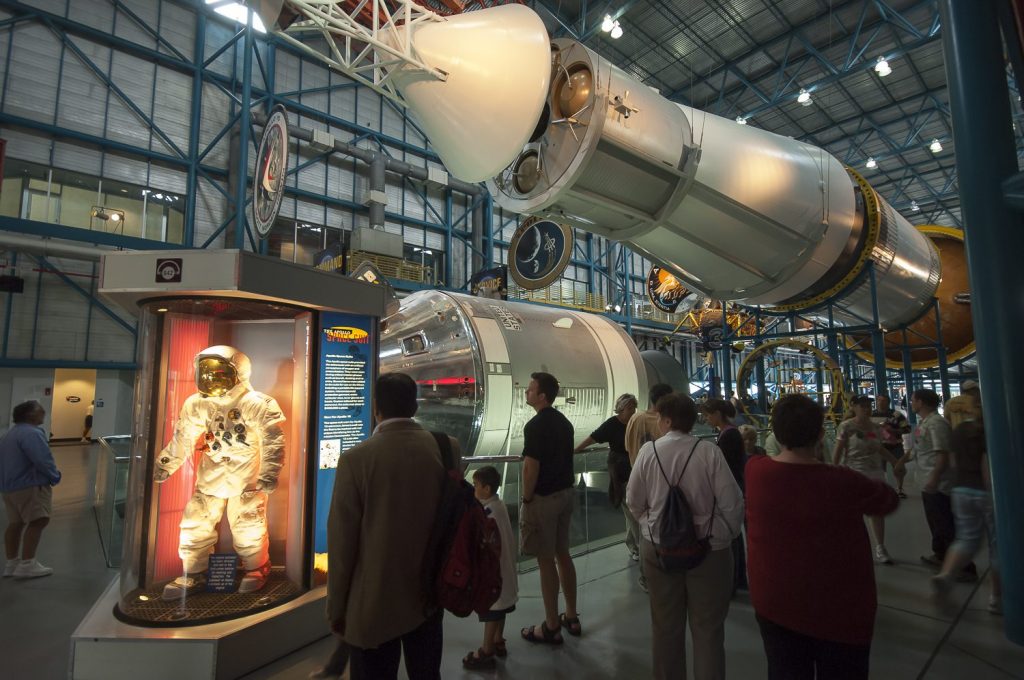
Rocket Land
In Titusville, we rented a car to visit the Kennedy Space Center. The exhibits were impressive, especially the Apollo/Saturn V Center. It brought back that amazing moment when millions of us held our breath as Neil Armstrong stepped onto the moon’s surface—a journey that began just a short distance from where the Apollo/Saturn V Center stands today.
The Merritt Island Wildlife Refuge surrounds the entire space complex. Within a stone’s throw of the world’s largest spaceport are vast expanses of wild salt marsh that are home to alligators, bald eagles, snowy egrets, white-tailed deer, and all manner of smaller critters.
Heading north we were buzzed by a squadron of pelicans flying low over the water; they headed right into our bow, bearing off at the last possible moment. It was a pleasure to watch them maneuver in perfect synchronization as they searched for their morning prey.
A weekend forecast of a threatening cold front with gale force winds was enough to convince us to be tied up someplace safe instead of at anchor, so we set a course for Jacksonville Beach. Once holed up there, we used the time for honest endeavors like reprovisioning, doing laundry, fixing the head, and changing our engine oil—all unglamorous but very necessary parts of the cruising life.
Nice and easy cruising north to Georgia
As the weather improved, a flotilla of boats, both sail and power, got underway to Georgia. We took note of the mooring field at Fernandina Beach, a nice addition to one of our favorite harbor towns, but pushed on to Jekyll Island, where we had a dinner date with Looper friends aboard their Tara.
One of the best reasons to join AGLCA is the wealth of cruising information at their website America’s Great Loop Cruisers’ Assn. We found posting that tipped us off to the low fuel prices at a marina in Brunswick, Georgia. We decided that going off the waterway would be well worth the time.
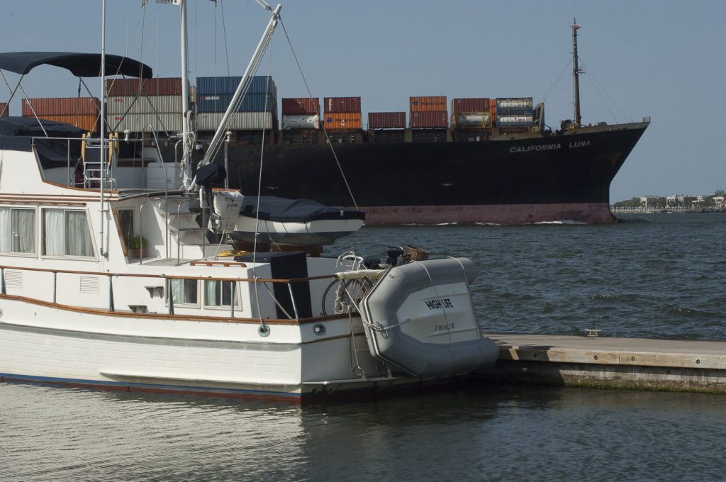
In the channel, we passed a small cruise ship called the Spirit of Nantucket. We’re always surprised to see so many cruise lines plying the Intracoastal in spring and fall. And considering how many cruisers go aground on the ICW, we always wonder how theses behemoths make it through with nary a bump.
After refueling, we anchored beneath overcast skies on the Frederica River, just north of St. Simons. There we went ashore to visit the archeological site at Fort Frederica, an eighteenth-century military town that Great Britain established to define its territory against the Spanish. The backdrop of this area is a lush low-country landscape. It makes the Frederica River one of our favorite anchorages on the ICW. We used binoculars often in this stretch of the river to see hidden wildlife and moss-covered tree branches, a site that seems unique to this area.
Turning north onto the ICW – familiar territory
The next day, we continued up the serpentine river, which runs parallel to the ICW and rejoins it a few miles north. We had planned to anchor in Kilkenny Creek that night, but a forecast of strong winds and severe thunderstorms changed our minds and sent us to the marina. As hail and wind lashed the hull at two-thirty a.m. we were happy to roll over in the bunk and go back to sleep.
Laidback Low Country
The Intracoastal runs just 140 miles through Georgia waters, but throughout the distance the waterway winds and twists every which way. We always run the ranges to help stay in the channel. While some cruisers find this stretch boring, we like the natural beauty of the marsh grass and savannahs. Besides, by the time you get to Isle of Hope and Thunderbolt, you’re almost at the Savannah River, which leads upstream to its namesake city and marks the border with South Carolina.
At the intersection of river and waterway, we waited as an enormous freighter passed downriver headed for the open ocean. For the sake of time we passed on a side trip upriver to Savannah and instead set a course for Hilton Head. A similar sense of urgency kept us from holding over for a few hours in Beaufort to catch an air show put on by the Blue Angels.
Just south of Charleston we followed Sea Life off the beaten track to Bohicket Marina, on a creek off the North Edisto River. The marina village is an intriguing spot on Seabrook Island near Kiawak Island. On the way in we passed Adams Creek, which sparked fond memories from 1975, where we had laid over while having our trusty Atomic Four sailboat engine rebuilt. The shoreline has since sprouted a collection of homes, but thankfully most were designed tastefully and to scale with the lush low country landscape.
Charming Charleston
Boat traffic increased as we got near Charleston, and even though it was April it seemed as if boating season was in full swing. The VHF was busy with conversations among Loopers, snowbirds and delivery crews about marina and anchorage logistics.
The area south of Charleston is called the ACE Basin, one of the largest estuaries on the East Coast. It’s named for the Ashepoo, Combahee, and Edisto rivers, which converge there after meandering past cypress swamps, historic plantation homes and old rice fields. From the mudflats to the salt marsh creeks and river waters, the basin provides a bounty for fishermen of all stripes, and it’s an ideal setting for canoe and kayak paddlers.
We had visited Charleston on several occasions but had never stayed on the Cooper River side of the city, so this time we went to the Charleston Harbor Marina at Patriot Point in Mount Pleasant, instead of tying up at the city dock. This venue provided a ringside seat from which we watched cruise ships and commercial freighters. Plus there were water taxis to take us across the river and into the heart of the city.
We particularly enjoyed the South Carolina Aquarium, where exhibits of the state’s diverse ecosystem illustrated the connections that link the mountains to the sea. At the salt marsh exhibit, we were tickled to see a striped burr fish, which was small and brown and had a little tail that looked like a miniature outboard engine. Much of the wildlife on display had been injured or had been rescued from a destroyed habitat; some of the rehabilitated birds had been raised by humans and were so imprinted they couldn’t have survived in the wild.
Winding our way on rivers and land cuts
After running through land cuts and winding rivers to Winyah Bay, we stopped at Georgetown. Located on the Sampit River, with access to the sea, the town was a hub of commerce in earlier days when rice and indigo plantations thrived. We bought shrimp off the boat and enjoyed a stroll down Front Street and its renovated downtown. Just off the beaten path, we found Kudzu’s, a gourmet bakery full of goodies, and from there we took Prince Street, lined with gracious old homes, back to the boat.
The Wacamaw, one of the prettiest rivers on the ICW, was misty on the morning of the next day as we headed north to Myrtle Beach. We remembered a particularly unpleasant time on the Wacamaw when engine trouble had forced us to limp into the marina on the Little Pee Dee River. We recall it as the hottest day on Earth. This time, we stayed at the new Barefoot Resort Marina and met friends who came by car for a visit.
The farther we pushed north, the more we spotted Looper burgees and enjoyed the esprit de corps. We also tried to meet the seasoned snowbirds who frequently make the ICW trip. These cruisers don’t have an identifying burgee but are a loosely knit group who share advice about favored anchorages and dangerously shallow inlets. We agree with people who call such veterans “an incestuous group.” No matter what kind of boat you’re on, you share a common bond when you’re underway.
Tips on getting through nasty spots is just one of the benefits of this connection. For example, the Rock Pile, is a notoriously narrow and gnarly 3.5-mile section of the ICW near Myrtle Beach. Armed with good advice, we arrived at low tide, when the rock formations were clearly visible and provided plenty of incentive to stay in the channel. Once through, we were soon in North Carolina and making good time—despite our no longer being in any hurry, having crossed the insurance mandated line with time to spare.
Cruiser-friendly Carolinas
We can’t agree on our favorite state along the ICW. One of us lobbies for Georgia with its marsh grass and switchbacks; the other likes the varied landscape of South Carolina palmettos, high pines, and sandy shorelines. We do agree, however, that North Carolina wins the price for being the most cruiser-friendly state, and—not coincidently—it is also the only one with ICW mileage signs at five-mile intervals.
During World War II, much of the land in the southern portion of North Carolina was used for military operations, and it was then that many of the region’s swing and bridges were built. All these old slow opening bridges have been removed.
Approaching Morehead City we received notice that the port was closed because of a fire aboard the Antares, a 560-foot freighter from Singapore. At least fifteen other cruisers dropped anchor with us as we all had to wait out the crisis, there being no other way to get through the harbor and continue north. The radio reports said the fire was in the freighter’s hold, which was loaded with rubber products.
The Coast Guard Cutter Shearwater, along with three smaller patrol boats, maintained a safety zone around the state port until a fire marshal determined that the fire was no longer a threat to passing boat traffic. The security shutdown was lifted an hour and a half later, and we all scurried on our way, impressed by the way the Coasties had handled the situation. Later that day we saw smoke and smelled fire once again, as we left Adams Creek and went into the Neuse River.
The cruising grounds of the Neuse River make the area attractive to retirees with a passion for boating. And while Oriental may be known as the sailing capital of North Carolina, we saw plenty of power cruisers, as well. The numbers on the mile-marker posts kept going down; it was hard to believe that Oriental was only 180 miles from Norfolk.
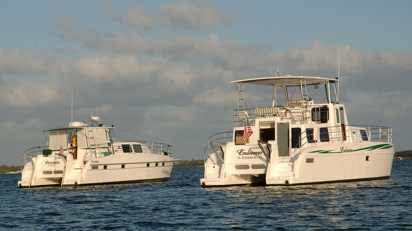
High Life and Sea Life pulled into one long slip at the Oriental Marina and Inn in the center of town, and both crews were happy to end the long day. Before we pushed on the next morning, we had coffee at the Bean, which was busy with locals and then strolled down the quiet streets of the town.
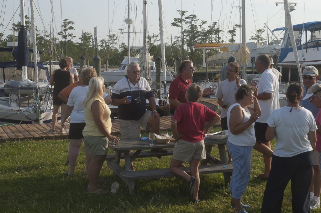
From an anchorage in Belhaven, our route took us to the Alligator River Marina in Columbia, where we had an impromptu docktail party with Loopers Adessa, Bonas IV, Caprice, Gracious, Sequel, and Work of Art, along with several other snowbirds making their way to northern homeports. The next day the wind blew over twenty-five knots from the west all day, so we decided to wait until it shifted to the north before we crossed Albemarle Sound. As we were headed for the Dismal Swamp Canal, the change would at least put the seas on our nose.
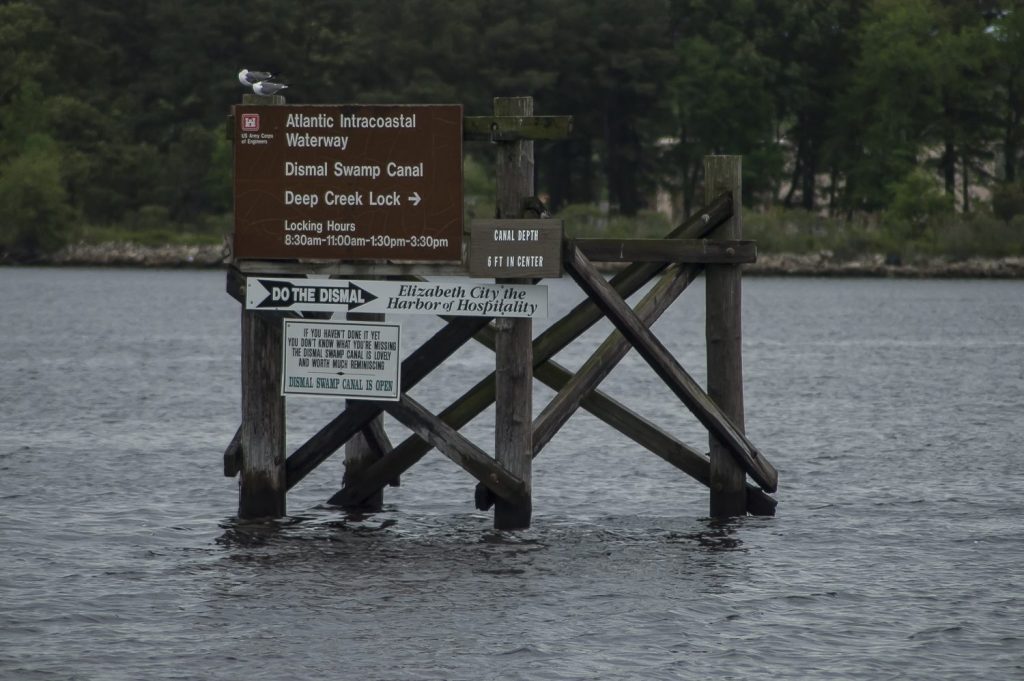
The next day brought warmer weather and drizzling rain, but the wind was still blowing hard when we left the Alligator River Marina. While many cruisers choose the Virginia Cut route, we wanted to see the Dismal Swamp, despite warnings about shallow water and debris. Making good time, we decided to pass Elizabeth City, with its famous dockside welcoming committee, and instead spend the night in the canal.
Both Sea Life and High Life had to maneuver slowly in the narrow channel of the Dismal Swamp Canal. Resembling root beer, the water stood in stark contrast to the green spring foliage lining both shores. Overall, the canal is just six to eight feet deep, and we’d hear an occasional thump as our keel bumped the bottom. It was surreal to realize that we were in a canal designed by George Washington and dug by slaves, and our GPS was getting its signal from a satellite in space.
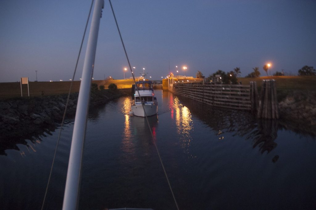
After passing through the lock at South Mills, we tied up for the night along the west wall between the lock and bridge. The following day we had an easy twenty-two-mile run to the north end of the canal. At the Deep Creek lock, the serenity we had experienced gave way to the familiar crackle of voices on the VHF as we rejoined the ICW. The airwaves were filled with conversations as cruisers and tug captains chatted and contacted bridge operators to request an opening. Before we knew it, we were back in the busy fleet of boats heading under the last bridge entering Norfolk Harbor. We passed can “R36” marking Mile 0 of the ICW and were almost home.
Chesapeake Bay
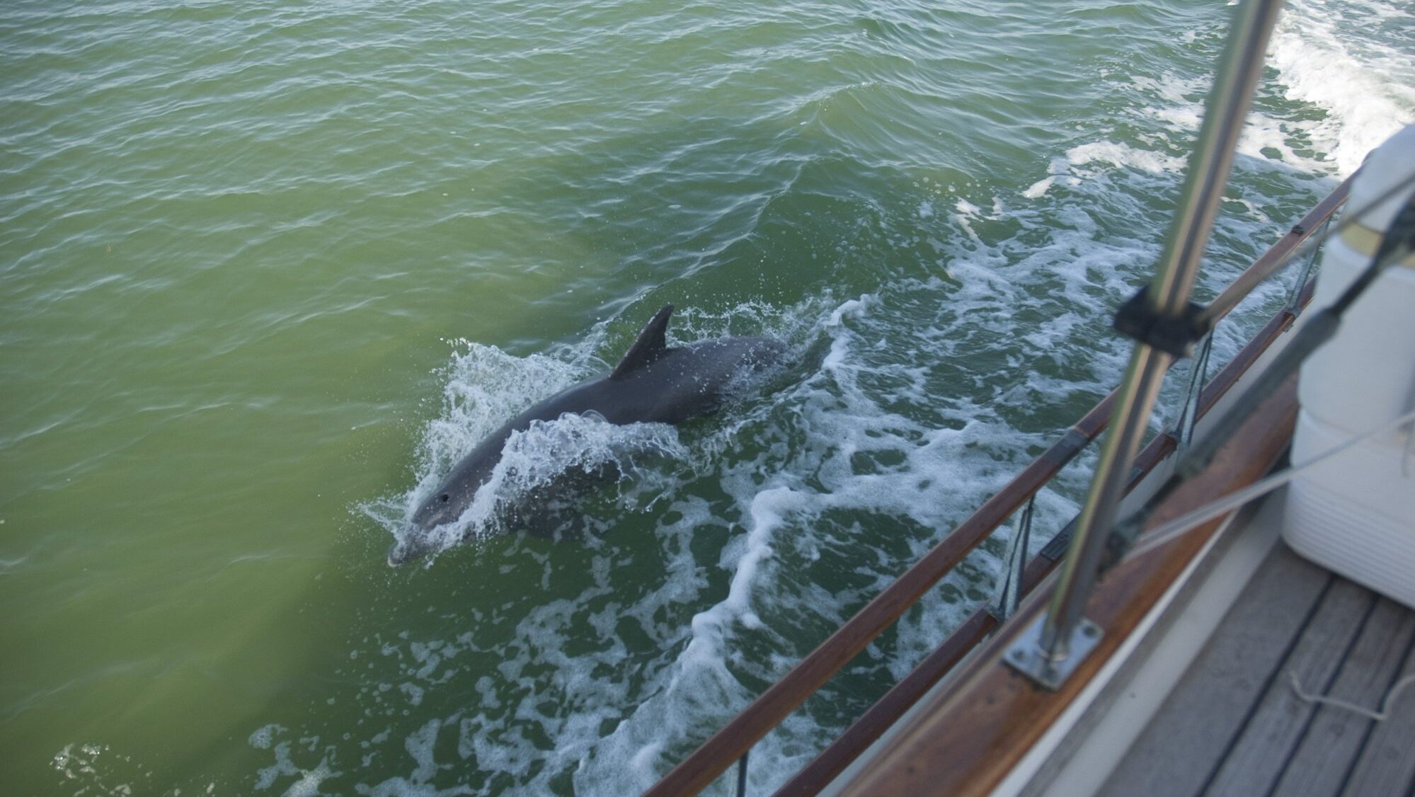
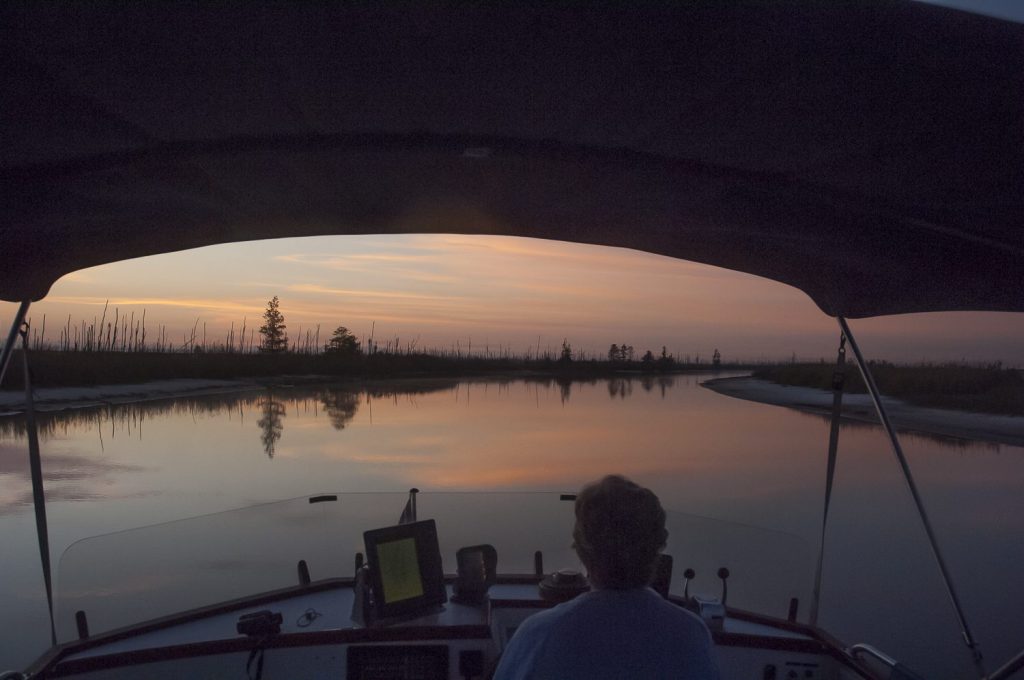
On our last leg of the Loop Cruise, we left Norfolk harbor on a misty grey morning. Traffic seemed light, until we heard two warships going out and saw one submarine coming in. We wondered where they’re going and where they’d been, hoping they’d be out of harm’s way. We had the current with us part of the day with gentle one-foot seas, nice conditions to be sure. A flock of pelicans swarmed overhead, and three dolphins shocked us as they jumped out of our bow wake. As we head out to the Bay we pulled out the cruising guide from Chesapeake Bay magazine as our guide to cruising there.
We pushed on up the Chesapeake to Deltaville, where we planned to weather yet another predicted cold front. Ironically, because of a bit of sightseeing by the skipper, we hit the mud bottom coming into the channel but got off easily. In almost five thousand miles we had never run aground, but just twenty-four hours from home, we did! Several days of thirty-five-knot northern winds found us snuggled in at Dozier’s Regatta Point Marina with Sea Life, Sea Knight, Blue Chip, and Ageless Adventure. We used the facility’s loaner car to tour the area and were surprised to see so many marinas and boatyards in such a remote part of the bay. We visited the Deltaville Maritime Museum, which showcased the area’s long history as the boatbuilding capital of the Chesapeake. Each night we’d all meet for cocktails on a lovely open porch and discuss the next day’s weather. We enjoyed several “last suppers” with John and Linda, and we enjoyed being weathered in with new and old friends and celebrating our final days on the Loop.
When the wind and seas finally subsided, the fog rolled in. So, on our last morning, we had to wait for increased visibility before heading up the bay. The fog was a concern until midday, but the radar saw us through, with Sea Knight and Sea Life following in our wake.
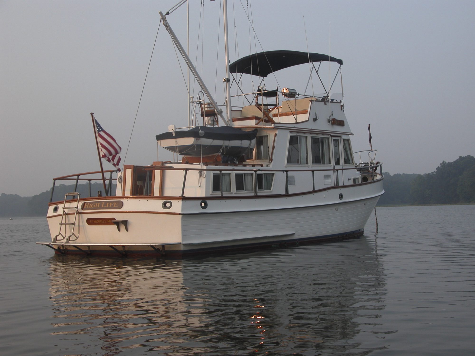
At Solomons, we said our final farewells to our two “escorts.” We were only five hours from our destination and pushed on, passing the familiar Sharps Island lighthouse. The sense of returning intensified when we recognized Black Walnut Point at the tip of Tilghman Island, then headed for the channel inside Poplar Island. By the time we turned into Eastern Bay, the day had turned to dusk, and we could barely see our way. Before long, however, we were blowing our horn and pulling into our familiar slip at the Miles River Yacht Club, tired but happy to be home.
Our eleven-month, five-thousand-mile Loop cruise was an exciting chapter in our lives and was surely the adventure of a lifetime. How fortunate we were to meet so many wonderful people, to visit such unusual and interesting places, and to see the amazing beauty and breadth of our country. When we’re asked if the trip was expensive, we answer yes but add that we probably spent more on wine than on diesel fuel. Was the journey worth the time and money? Definitely. Did we get bored? We laugh, answering “not for a minute.” The question we ask ourselves is: What’s next?
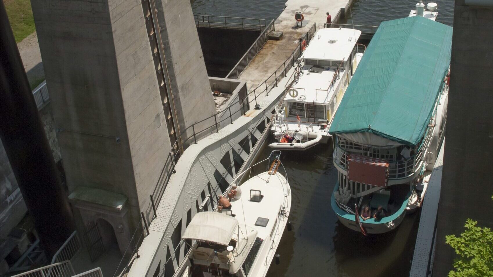
You might also be interested in:- Lake Ontario to Trent Severn Waterway
- Boating the Small Craft Route of Georgian Bay
- Boating Ontario’s Big Lifts, Locks and Rocks
- Great Loop Cruise Primer
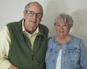
Gene and Katie Hamilton are veteran sail and power boaters and award winning boating writers. They are authors of Coastal Cruising Under Power and Practical Boating Skills. They are members of the Outdoor Writers Association of America.
 |